Using maps of the same scale, Worker, Inc. presents a series of overlays in order to resituate our mind's perception of space, to give a fuller impression of how we have transformed the built environment over time and to give new definitions of our perceived notions of place. The overlay maps are used frequently in public planning sessions by government officials, planners, educators, and architects as a tool to inform audiences about scale, density, and the designed environment.
 Tucson Paris2009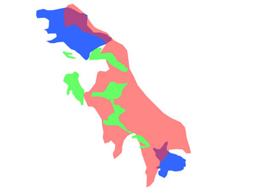
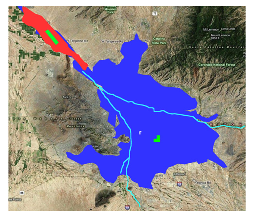
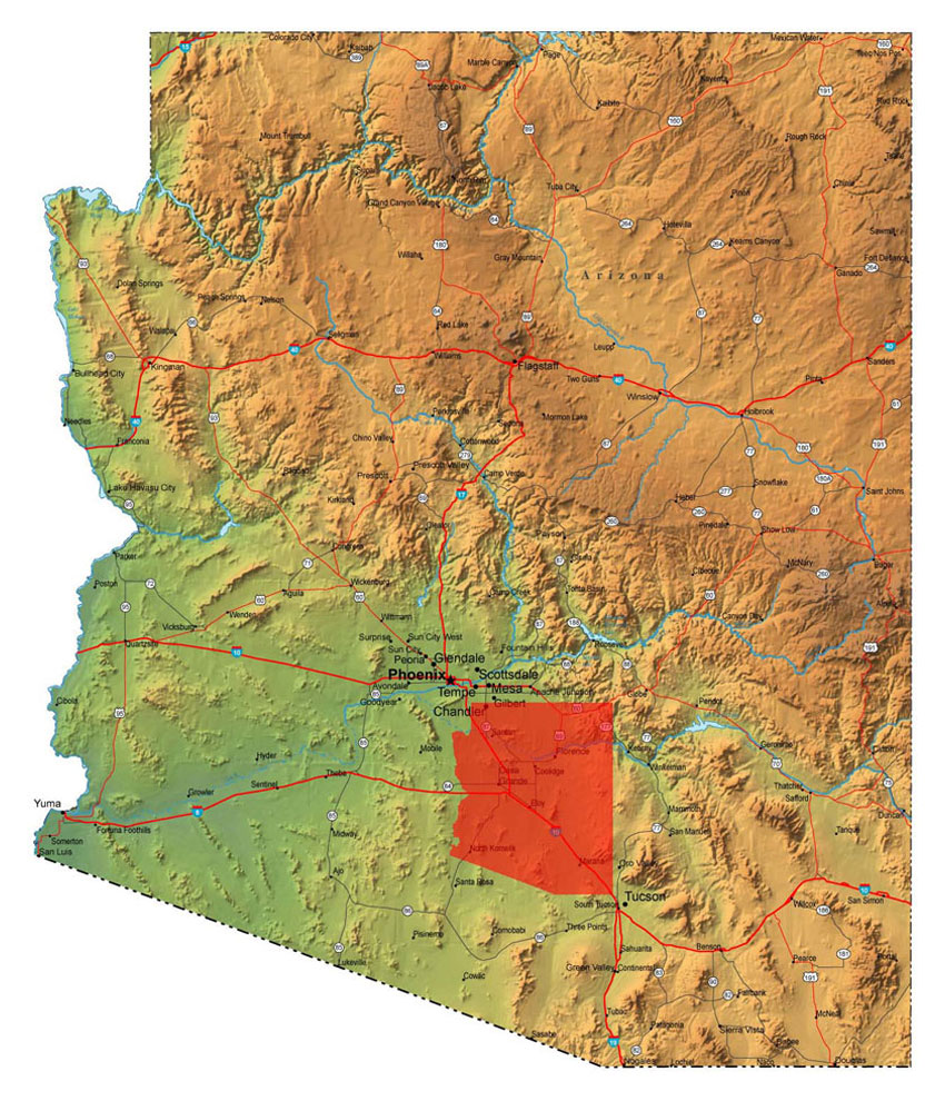
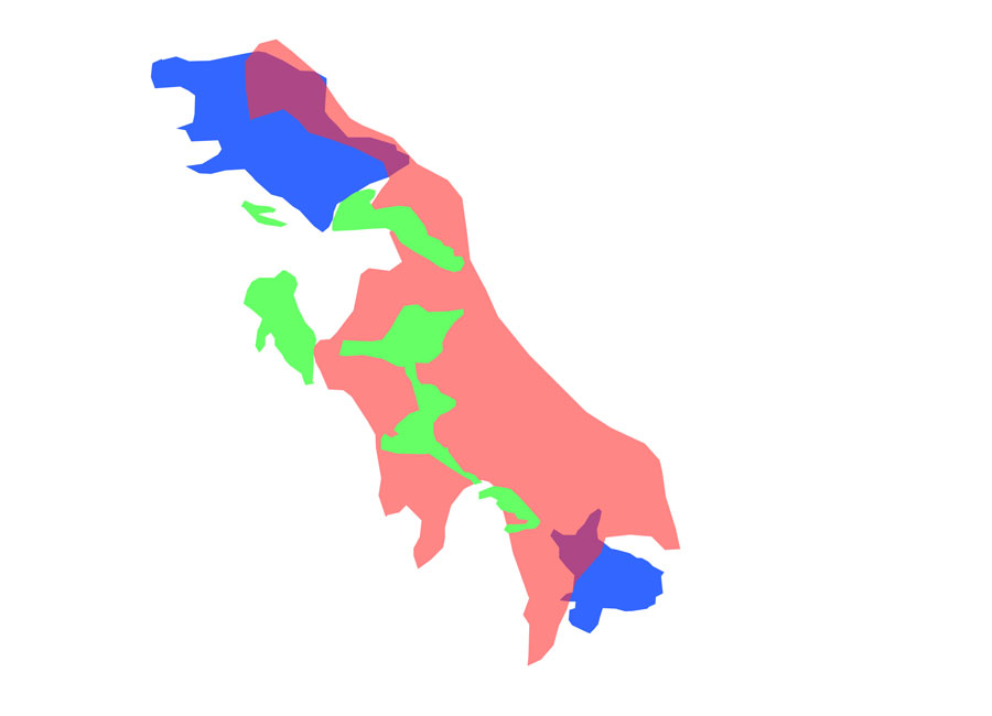 Tucson Phoenix (blue), Farms (green) Los Angeles (red)2009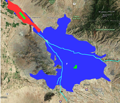
 If Marana became Manhattan Island (red)2009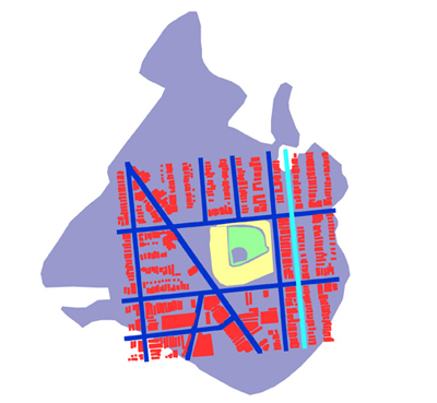
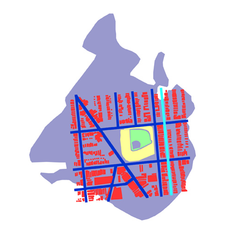 Wrigley Field Housing and Streets (red and blue) Dodger Stadium Parking (purple)2009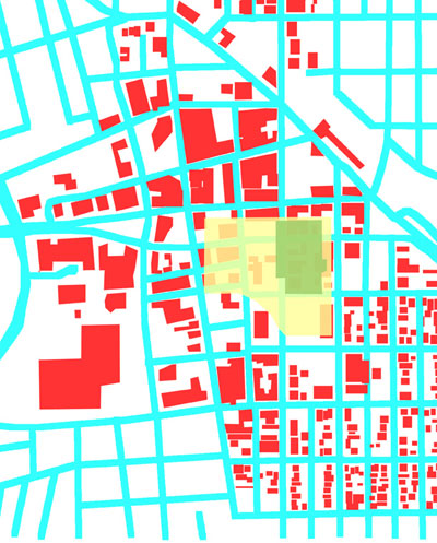
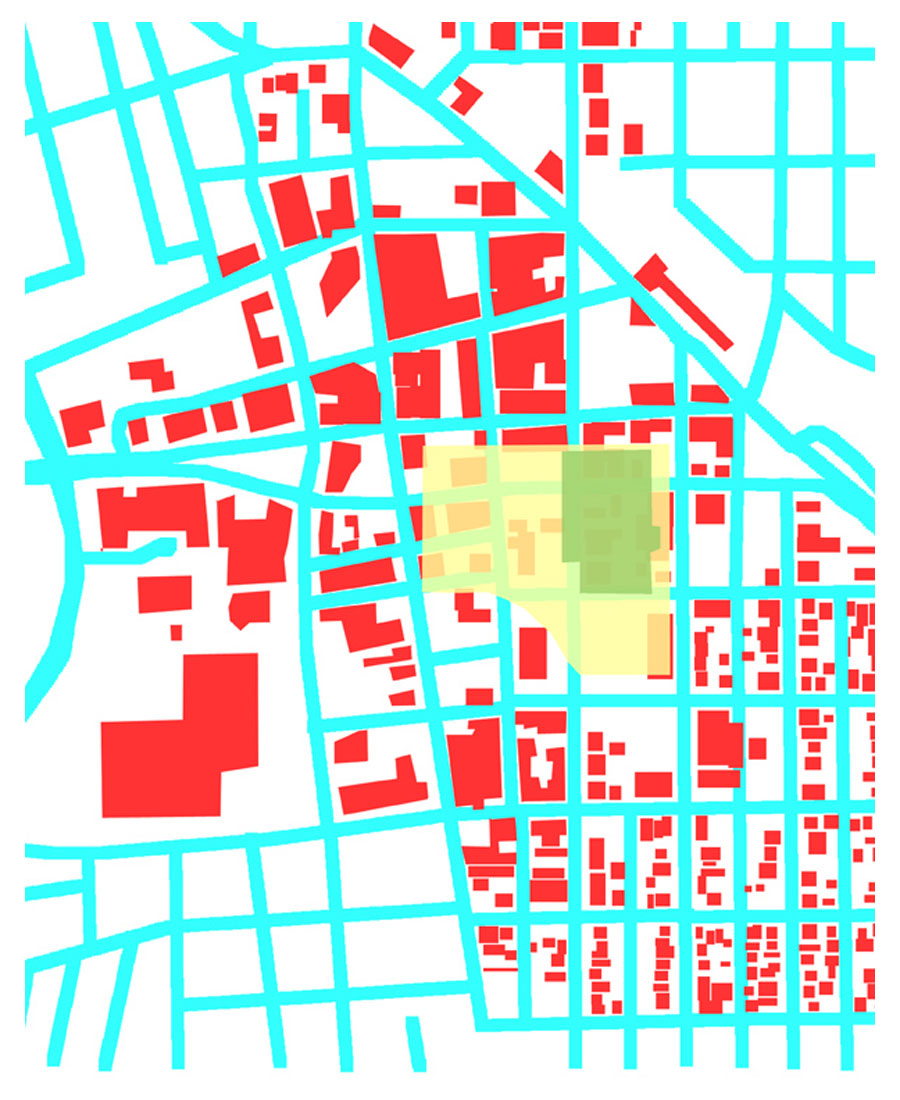 If Ikea and its parking (green and yellow) located in Downtown Tucson2009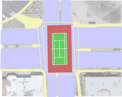
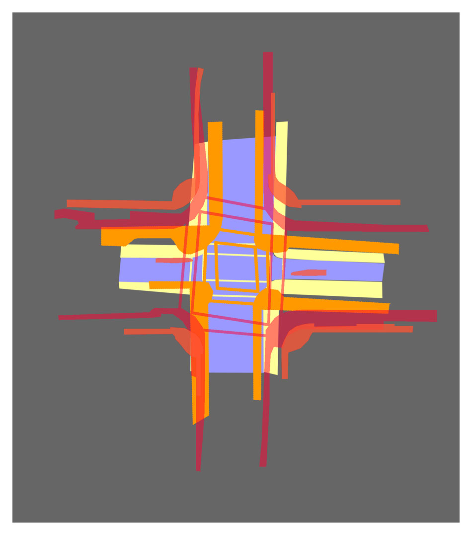
 Broadway and Country Club with tennis courts2009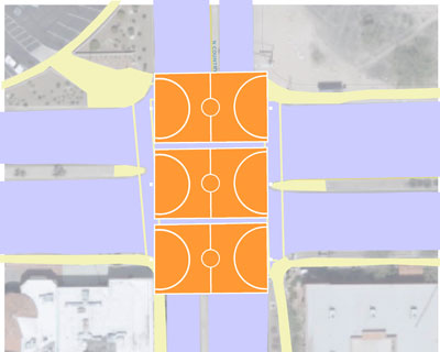
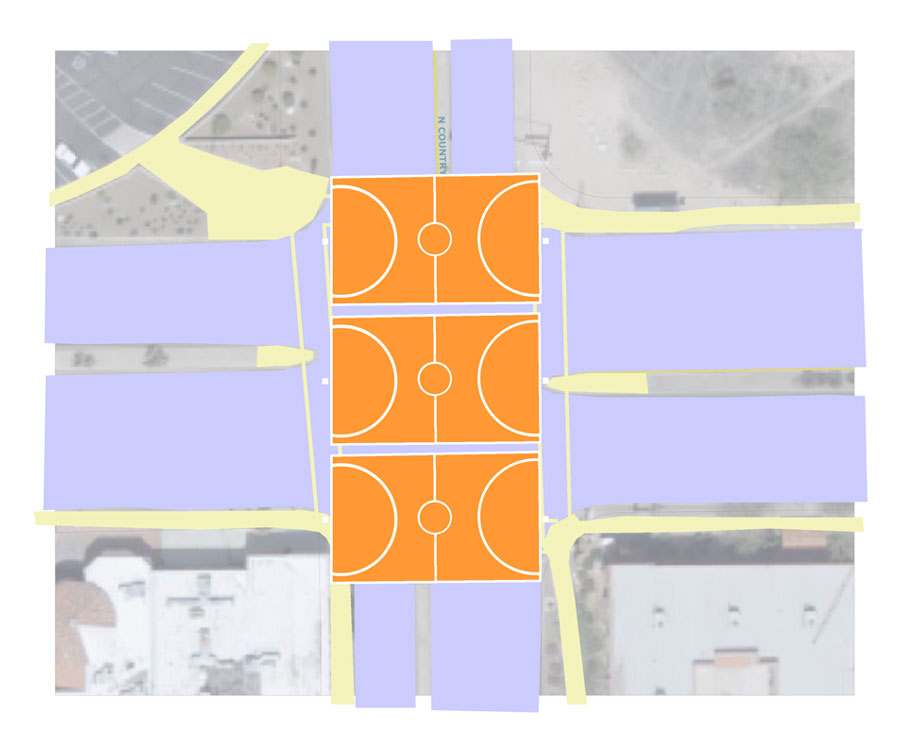 Broadway and Country Club with three basketball courts2009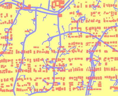
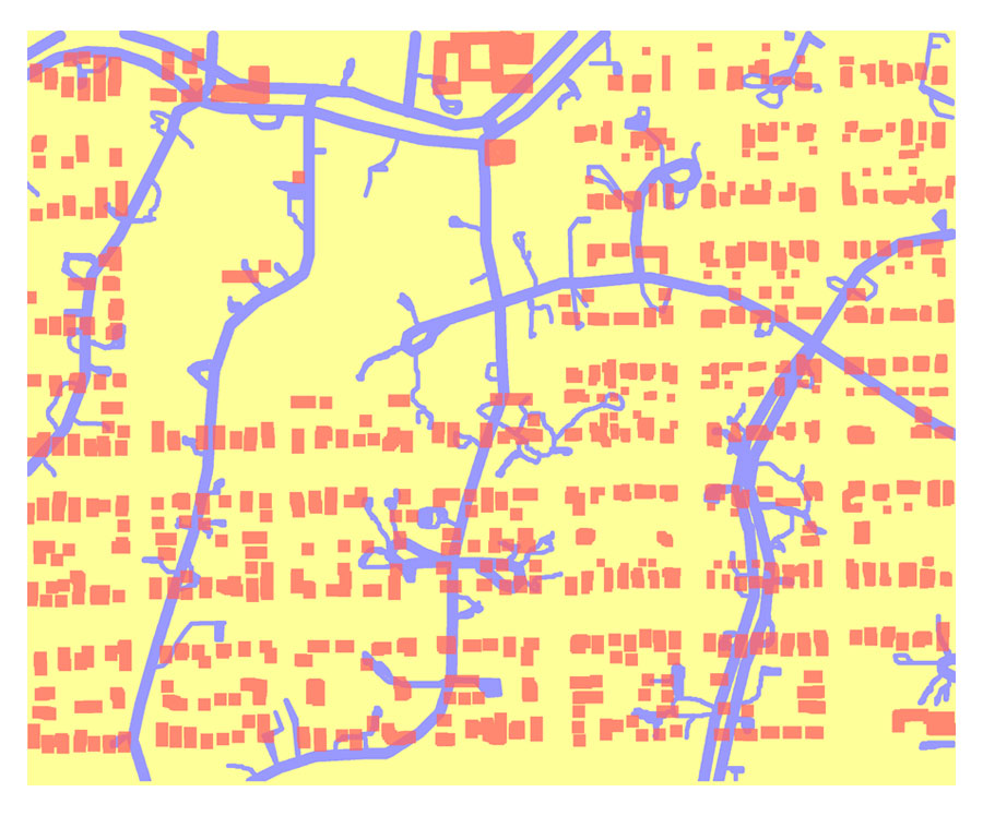 Sam Hughes housing and Foothills streets2009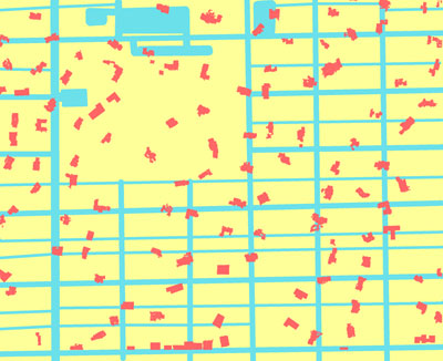
 Sam Hughes streets and Foothills housing2009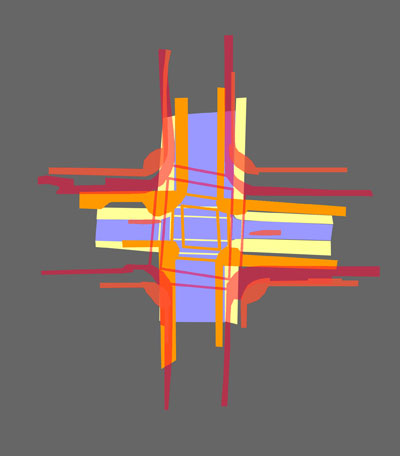
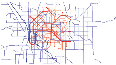
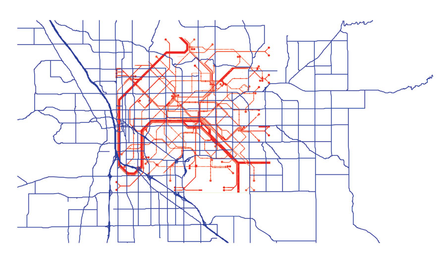
 Street Intersectons from Tucson to Manhattan via Phoenix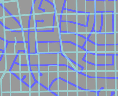
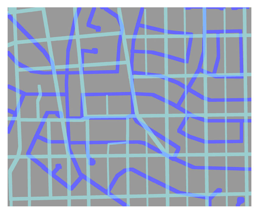 Barrio Roads (cyan) Vail Roads (blue)2009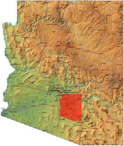
 the 20 most populated cities in the United Statesthe little red arizona represents the combined land area of the 20 most populated cities in the United States. that is 31,000,000 people. there's a lot of land out there let's start developing.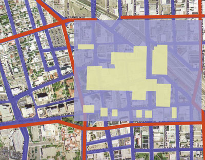
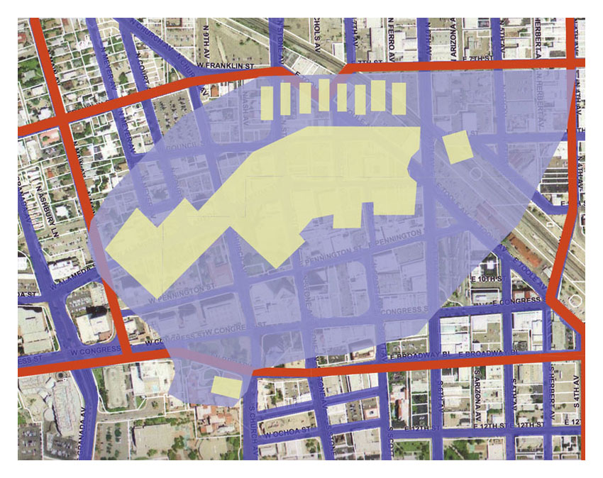
 el con mallel con mall and associated parking lots overlaid on the heart of downtown tucson. what is going on in our head when we say "going to the mall" vs. "going downtown." the spaces are virtually the same size. (background for non-tucsonans: there have been revitalizing efforts for downtown tucson since the mid-1970s without much perceived success). .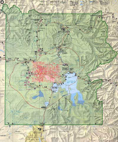
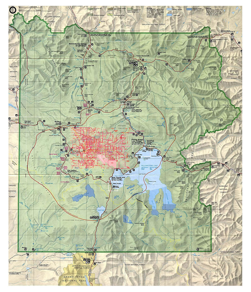 national parksthe city of tucson overlaid on yellowstone national park. how would we develop tucson if we thought it were in the middle of an arbitrarily defined national park?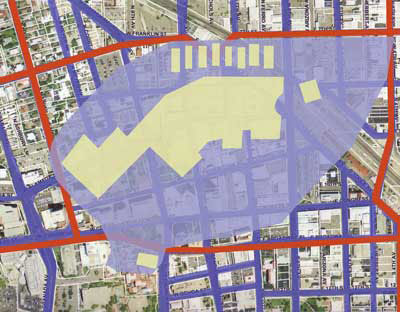
 la encantadala encantada mall and associated parking lots overlaid on the heart of downtown tucson. build it, fill it with places to consume goods, and they will come.
 park place mallpark place mall and associated parking lots overlaid on the heart of downtown tucson. if they can revitalize a mall . . .
 tucson malltucson mall and associated parking lots overlaid on the heart of downtwon tucson. i've never heard of people complaining about walking around a parking lot in the mall. (background for non- tucsonans: people complain about the amount of walking one needs to do while downtown tucson).
 manhattanthe island of manhattan overlaid on the city of tucson. during the day there is roughly 7,000,000 people in the manhattan area; in tucson, there is roughly 200,000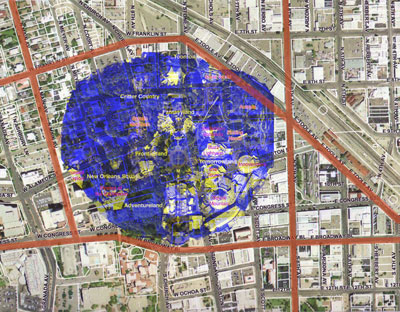
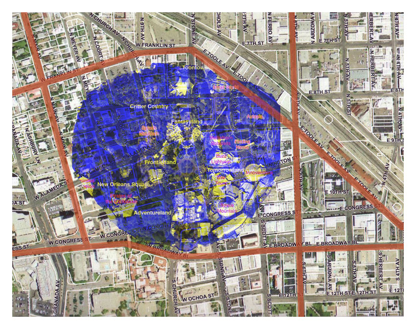 disneydisneyland overlaid on downtown tucson.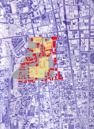
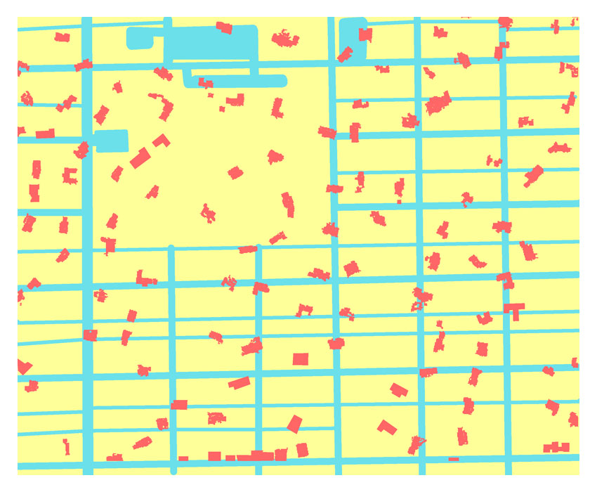
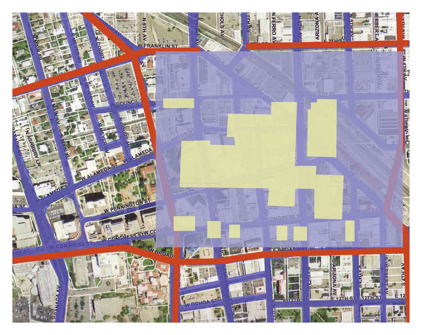
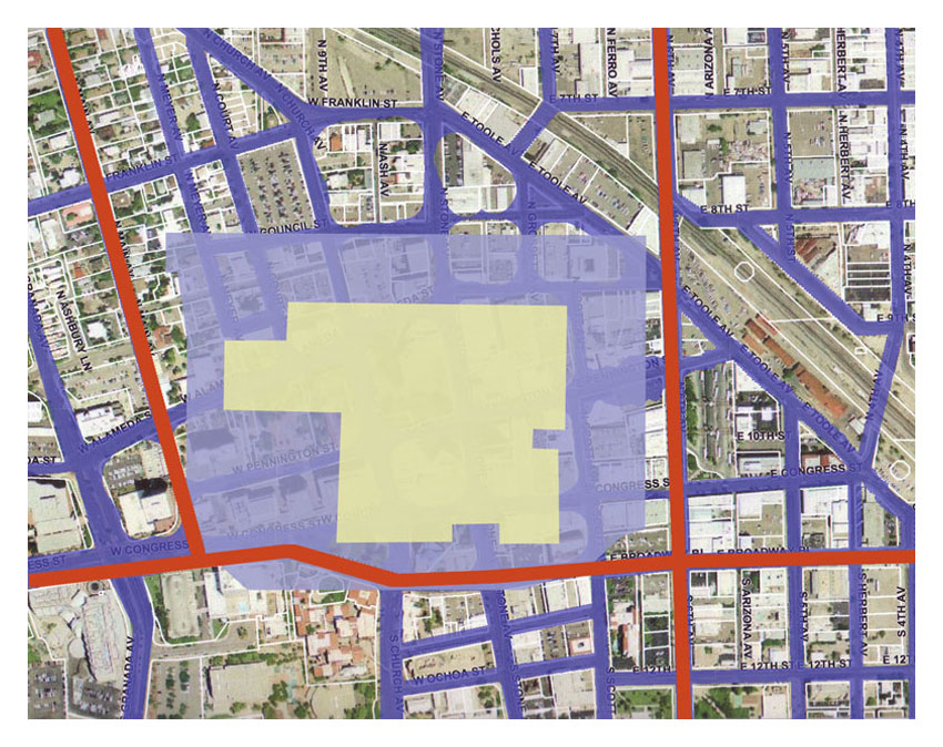
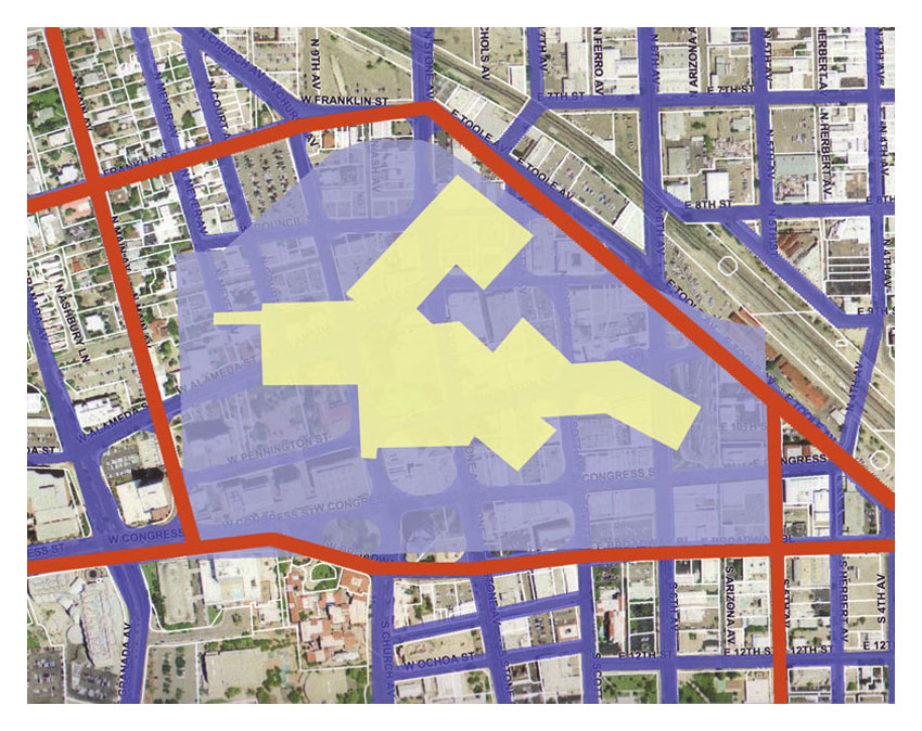
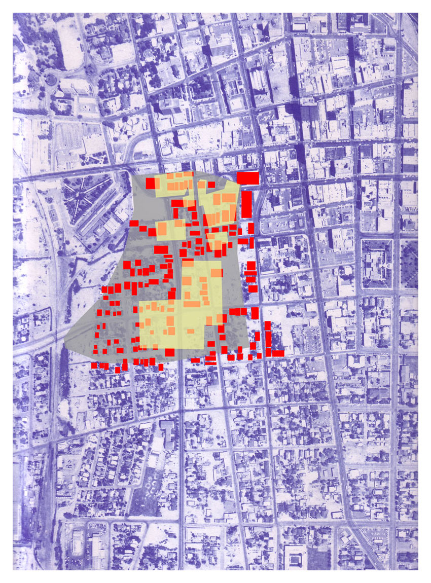 urban renewalthe blue aerial was taken in 1967. the yellow and gray represent a convention center built in 1971 in downtown tucson. the red represents all of the buildings demolished from that construction. no comment.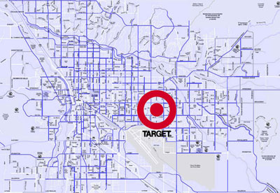
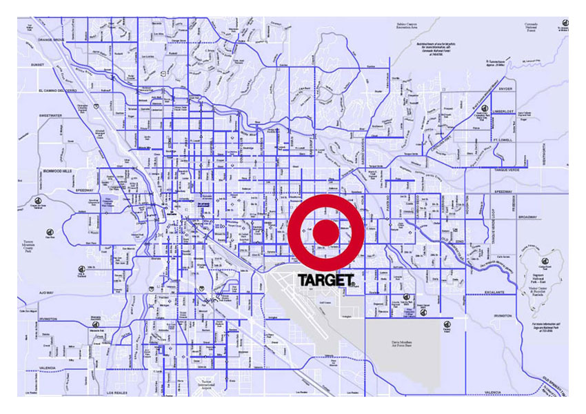 targetthe target symbol represents the combined area of all the target shopping centers in the united states as of july 2008; representing 207,540,000 square feet. it actually doesn't look that big.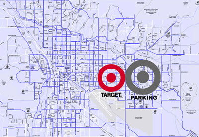
target parkingthe grey target symbol represents the parking required for all of their stores. now, that looks big!.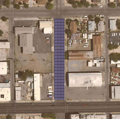
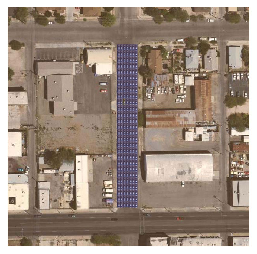 7th avenuethis is 7th avenue, a bike route in the city of tucson bike system. the road is so wide, i can fit 189 cars on it in one little stretch.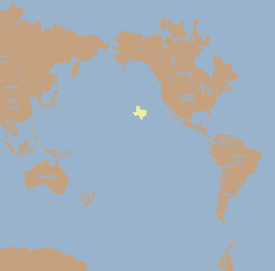
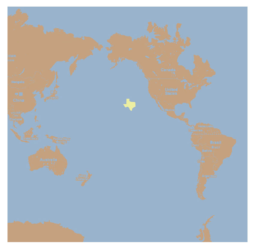 texasthe little texas floating in the middle of the pacific ocean represents the size of the island of plastic flotsam accumulating somewhere between san francisco and hawaii, known as the "eastern garbage patch." some say it is twice the size of texas.
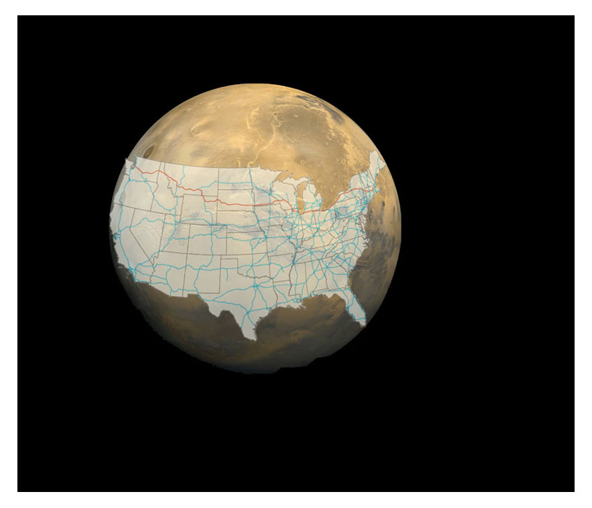 go voyager!the united states interstate system on the planet mars. |